
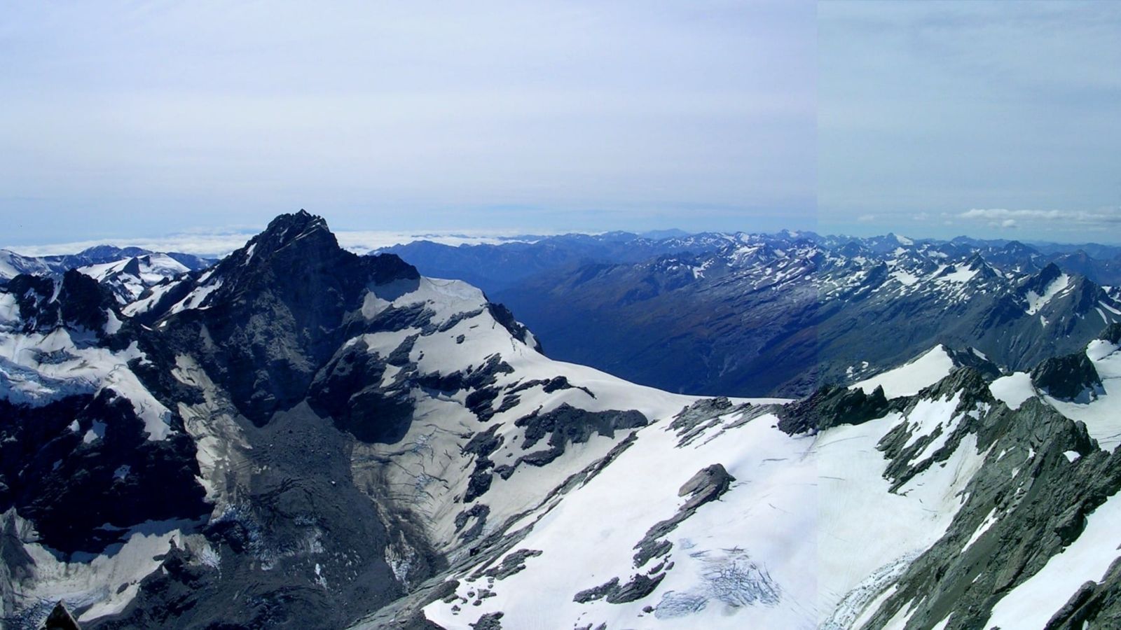
Comment: The recent devastating flood in Nepal was likely initiated by an avalanche of rock and glacier ice that evolved into a debris-rich flow as it entered the lower valley. Although the exact causes will continue to be investigated, this event highlights a growing challenge in mountain regions globally—as temperatures warm and glaciers retreat, landscapes can become increasingly unstable.
Climate change increases glacier and hillslope hazards in several ways:
- The presence of ice against a valley side provides a supporting force that helps maintain slope stability. Warming-induced glacier retreat removes that support, weakening mountain slopes.
- As temperatures rise, repeated expansion and contraction of rocks can create and enlarge weaknesses within the rock.
- Warming also reduces the extent of permanently frozen ground (permafrost), often referred to as “mountain glue” because of its bonding effect in fractured rock masses.
- Climate change increases the availability of liquid water in alpine landscapes through higher glacial melt rates and more frequent and intense rainfall events. A sudden increase in water can act as a lubricant beneath rocks or glaciers, increasing the risk of failure.
A challenge is that these mountain hazard processes do not occur in isolation. As we saw in Nepal, an initial avalanche of rock and ice can trigger a sequence of interconnected processes, known as cascading hazards. Rock and ice may entrain sediment as they move downslope, transforming into debris flows or floods capable of travelling many kilometres.
These cascading events can be particularly impactful, as they can extend hazards downstream from remote mountain environments into communities.
Despite the clear potential for climatic warming to contribute to alpine mass movement events, it is difficult to determine the role of climate change in any individual event. Alongside climatic influences, numerous local geological factors may be important, including rock type, fracture patterns, and geometry of the surrounding topography. Many of these factors are poorly constrained or impossible to quantify directly, making forecasting and definitive explanations of recent events extremely challenging.
There are many glacial and landslide hazards in the mountains of Aotearoa New Zealand, and many recorded events that have had astonishing impacts on the landscape.
The Aoraki Mt Cook landslide of December 1991 released 12 million cubic metres of rock and ice from the highest peak, and it travelled 7.5 km at an average speed of 200 km/h. There were no fatalities, but climbers on the mountain had a close call.
A few months later, the ridge northeast of Mt Fletcher (in the headwaters of Lake Tekapo) collapsed in May and September 1992. The first collapse caused a lake tsunami of 10 m or higher in Maud Lake, leaving icebergs stranded 20 m above the lake surface. Over the previous century, the glacier had thinned by 250 m, leaving an over-steepened slope, setting the scene for this sudden failure.
In January 2013, the west ridge of Mt Evans (near Hari Hari) collapsed, travelling 3 km over the Evans Glacier, picking up wet snow and reaching speeds of 120 km/h before wiping out moraines that had been left by the glacier more than 100 years previously. A scar up to 300 m wide was left in the riverbed. Six kilometres downstream, water was entrained into a debris flow, which became a debris-laden flood that ultimately washed out the state highway bridge 30 km downstream.
There were no fatalities in any of these events, but that is more a function of our relatively uninhabited mountain valleys than a lack of hazard. There is also no simple narrative of glacier collapse. These were complex cascading events with elements of weak bedrock, removal of glacial support and, in the case of Mt Evans, very heavy rainfall.
These examples show that events of a similar magnitude to the one in Nepal can occur in Aotearoa. The differences between events here and the flooding in Nepal come from differentiating between hazards and risk. Hazards are the processes that could cause harm and exist whether humans are nearby or not. Risk is the potential for a hazard to hurt people, damage infrastructure, and disrupt society.
Himalayan valleys generally have larger communities and more infrastructure than alpine valleys in New Zealand, which are largely uninhabited. This means our exposure to risk is generally lower.
But the event in Nepal is a reminder that climate change is not only driving glacier loss but also impacting mountain landscapes and associated hazards. It also raises an important question for us in Aotearoa: are our monitoring systems and hazard assessments keeping pace with the rapid changes occurring in our alpine environments?
This article was originally published on Newsroom.
Lauren Vargo is a senior research fellow and Brian Anderson is an associate professor in the Antarctic Research Centre at Te Herenga Waka—Victoria University of Wellington; Shaun Eaves is a senior lecturer in Physical Geography in VUW's School of Geography, Environment and Earth Sciences.