Te Kawa a Māui Atlas
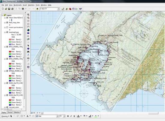
Staff and students at Te Kawa a Māui, Victoria University of Wellington, are building a digital map-based database of student work. An interactive version of the Atlas is available here.
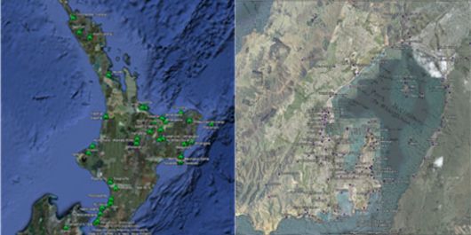
In 2010, Māori Studies students explored visual and Google Earth representations of their discipline through various assignments in MAOR 111, MAOR 112, MAOR 122, MAOR 123, MAOR 316 and MAOR 317. Most of the maps have been created collaboratively, and thus constitute a class-wide effort.
The Te Kawa a Māui Atlas includes geo-biographies of key historical figures in Māoridom, maps of pā sites in Wellington and protest occupations in Aotearoa New Zealand, amongst others.
This work has been supported by Victoria University of Wellington's Teaching and Learning Funds 2010 and 2013 and by the Summer Scholars scheme 2009 and 2010.
This site is the older version of our new Te Kawa a Māui Atlas. Please visit and send any feedback to Ocean Mercier.